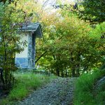
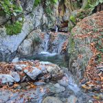
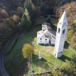
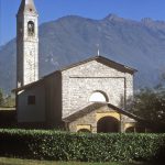
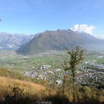
After navigating the Dosso Croce (elevation 309m), the Scalotta road looks onto Valtellina and drops downhill. Pass over the large valley of Acqua della Piodella and approach the rural settlements of Piantedo, many of which have been renovated. In the lower Valtellina, the country houses were arranged around coutryards, or ‘culundei’, containing barns and haylofts. There were communal spaces to be used by several families to carry out collective tasks like drying hay or threshing grain. The houses had facades with wide loggias connected by a staircase which led to each floor. The wooden structures of the balconies were embellished by columns and horizontal planks to which panicles were attached. Inside, the kitchen occupied the ground floor, with the bedrooms on the first and on the second floor. The third floor housed a hayloft/granary.
Following Via Cavour, the route stays suspended above the bottom of the valley, passing by well-maintained hamlets, such as Piganzoli and Ca’ di Pinoli. You are walking along roads and paths which were once used by woodsmen. Patiently navigate your way through the valleys which drop down from the slope, dotted with easy-to-cross fords.
After quite a long section, you will reach the mils of Piantedo (elevation 330m). Without passing over the ford in the stream, drop down the slope to the left passing some abandoned building until you arrive at a bridge over the Madriasco stream.
Now you are entering into the area of Delebio among the houses in Tavani (elevation 261m).
After the houses in Tavani, the route turns back into a pathway once again, and weaves its way up the slope through the dense wood and between valleys via fords in the stream, usually crossed by trickles of water. This area is inhabited by roe deers. The clearings created by wood cuttings offer views down to the valley floor and over the Pian di Spagna. You will reach a first summit at 372 m, when the pathway meets a local road which you then follow downhill.
Passing by a lay-by, leave the road to climb up the slope again; this gradual incline is characterised by chestnut trees. The oldest among them is marked and can be found close to the right-hand turn off towards Nogaredo.
The path climbs uphill towards Nogaredo (elevation 291m) and the splendid private meadow, wonderfully maintained by the owner. A terrace bordered by a small stone wall, a huge chestnut tree, three country houses, a meadow and a panoramic view is the perfect spot for a well-deserved rest. Next, continue along the path, crossing the road which heads down to Delebio. This is an excellent example of road making, perfectly cobbled and with a consistent gradient. It was used to get supplies to the military outposts of Monte Legnone over 2000m high and was constructed during the First World War.
